Summary
Background
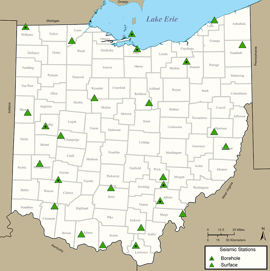
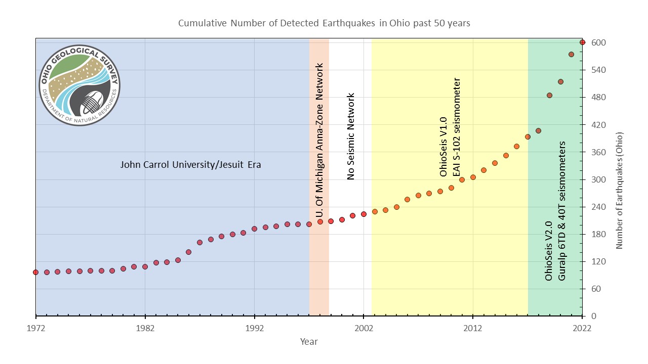
Seismic station coverage of the US Midwest is sparse and has not been sufficient enough for in depth seismic studies since the Transportable Array (TA) was moved out of the region. Ohio Geological Survey is leading the way in the region to increase station density to the previous TA levels which will stimulate future investigations in the region.
Initially, the network transitioned from older shallow surface vaults, which used the digital Güralp 6TD instruments, to 10 m posthole stations using the Güralp 40T posthole instrument. The plan is for future stations to utilise the Güralp Certis, an ultra-compact medium motion seismometer that doesn’t require levelling or orienting during deployment.
Posthole deployments of instruments are a cost-effective method for improving station performance without the additional cost of building dedicated vaults. Even partial burial of the sensor can dramatically improve the signal-to-noise ratio of the collected data. Recent technological advances in sensor design and improved robustness have made the deployment of posthole sensors easier for network operators. This will be further improved with Certis because the need to orientate the sensor downhole will be removed.
Figure 2. Map of Ohio Seismic Network Monitoring Stations in 2021
The Güralp Solution
This ongoing project began in summer 2021, with nine, 40T posthole sensors deployed into the network with Minimus digitizers.
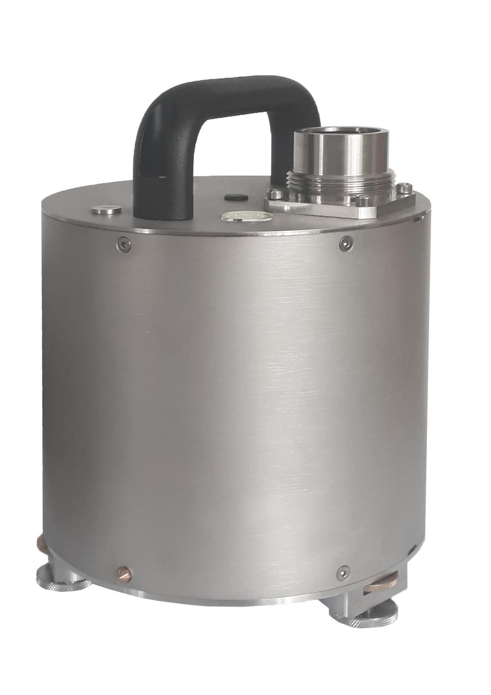
The 40T posthole is a small, rugged seismometer suitable for installations in areas with moderate noise. The posthole variant is suitable for deployment where long-term submersion in fluid may occur.
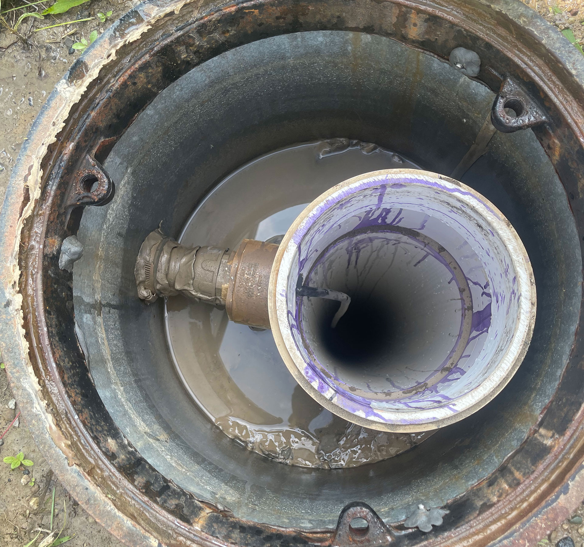
The sensors were deployed in 10m postholes that were cased and had a levelled base of sand. The instruments were lowered into the holes using strain relief cable and a downhole camera assisted with orientating the sensors using a U-bolt on a pole. A plumb line was dropped from the surface to mark the direction of true north. The downhole camera also assisted with monitoring the bubble level as the instrument was levelled downhole.
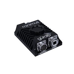
The Minimus units were deployed in waterproof surface cases and cell modems were used to transfer data in real-time back to the Ohio Geological Survey data centre. The Minimus units provide quick and easily understood State-of-Health data to the network which allows the Survey to efficiently plan for any required station maintenance. For example, the adjustment of GPS antennas if the GPS lock is insufficient.
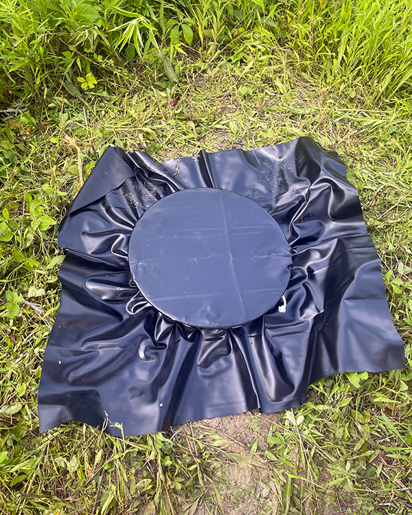
The sensor vault was sealed with tarpaulin and covered in mulch to further protect against moisture ingress and weeds.
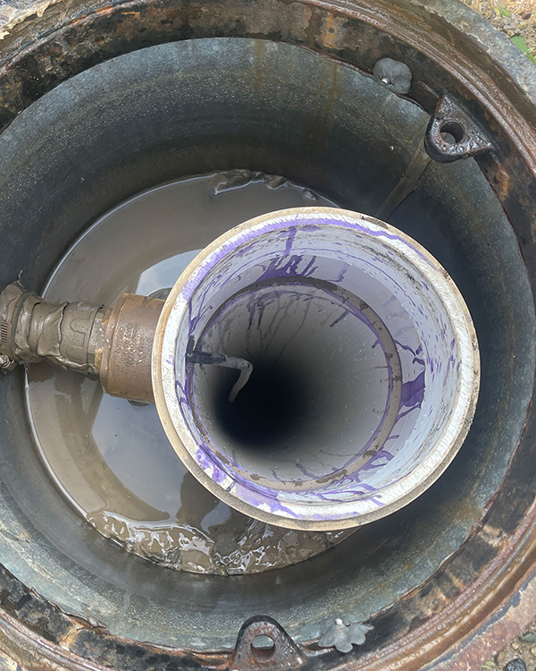
Figure 5. The 40T posthole instruments were deployed in cased holes to depths of down to 10 metres
Figure 6. The cased holes were then sealed with tarpaulin and covered in mulch to protect against moisture ingress
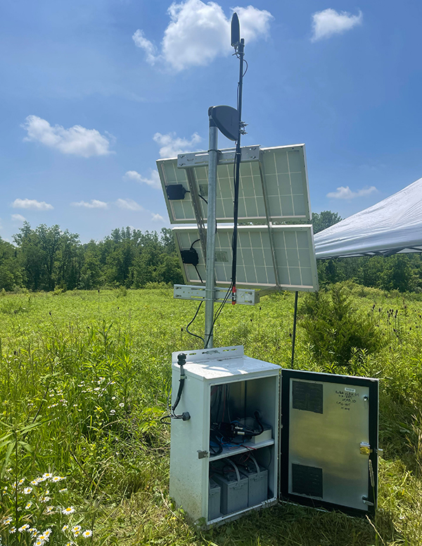
Figure 7. Stations are equipped with solar panel charged batteries to power the 40T Posthole and the Minimus digitiser, and with a cell modem to transmit the data to the network
Outcome
Jeffrey Fox, OhioSeis Seismic Network Manager/Seismologist
Ohio Geological Survey
The Ohio department of natural resources will now be able to catalogue a greater number of seismic events occurring in the state and therefore a larger database of events will be available for scientific investigation. The increased event data will be used for a wide range of studies including investigation of the central American continental craton and intraplate dynamics of the region.
