
Temporary monitoring of volcanic unrest
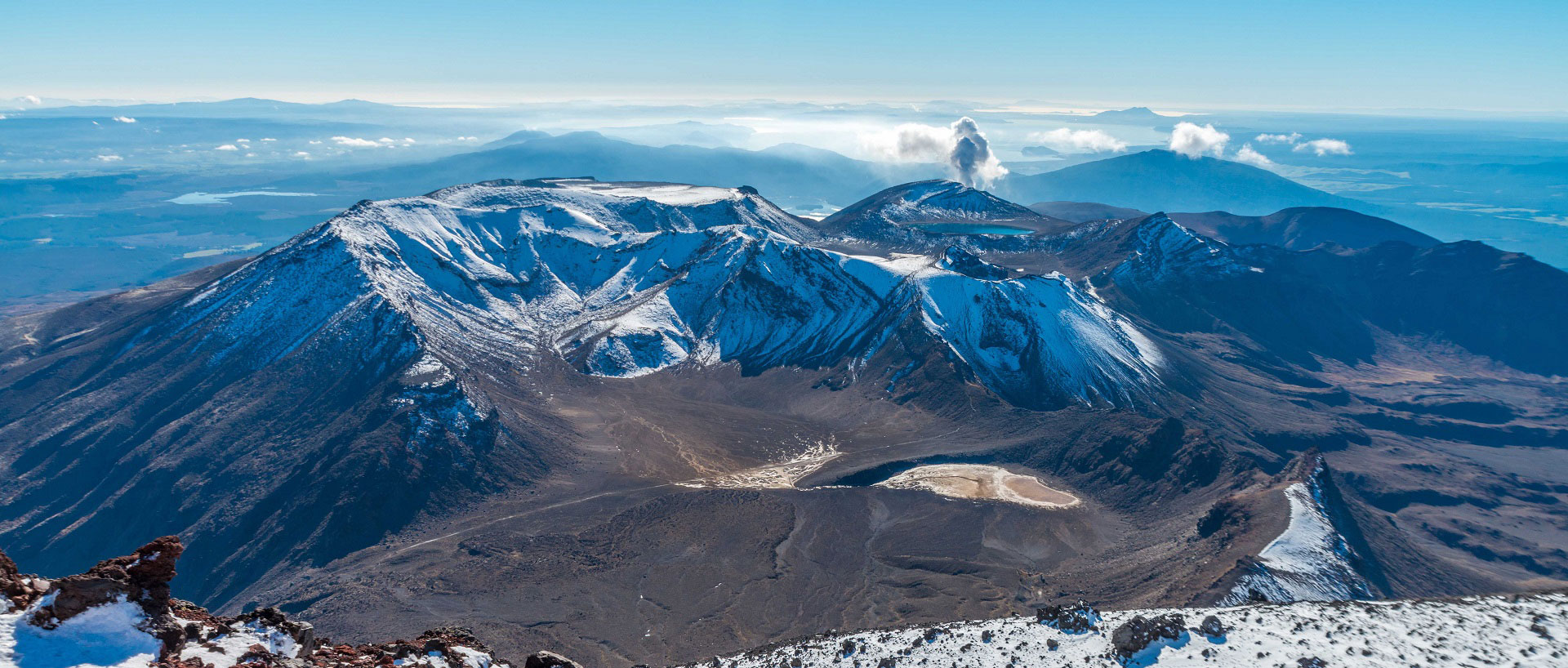
The Tongariro volcanic complex in New Zealand is a composite cone volcano formed over 275,000 years. Following increased volcanic activity at one of the cones - the upper Te Maari crater - in the summer of 2012, a temporary array of four Güralp sensors were installed to capture data on the ongoing unrest.
On August 6th, 2012, the upper Te Maari vent erupted causing a debris flow to occur. This debris flow created a temporary dam in the Mangatetipua stream channel blocking all the outflowing water. The blockage of all the outflowing water created an ephemeral lake behind the debris flow dam.
Two months later, on October 13th, following heavy rainfall, the dam broke releasing ~50,000 m3 of water, which remobilized sediment including debris flow material. The sediment water mixture flowed down the channel creating a lahar.
With the temporary Guralp array in place both the August 6th and October 13th events were recorded seismically for further study.

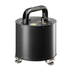
Güralp 6T array
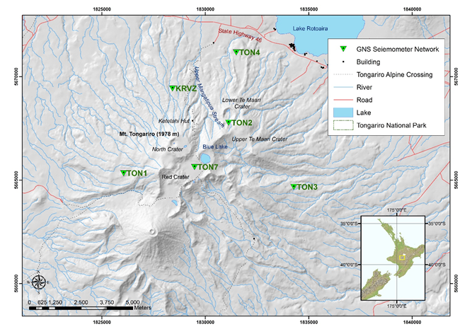
In July 2012 four 3-component Guralp 6T broadband sensors were installed around the upper Te Maari vent in response to increased volcanic activity (Fig.2). These four sensors (TON1, TON2, TON3, TON4) were installed and maintained by GNS (Institute of Geological and Nuclear Science).
The August 6th debris flow destroyed TON2 and on August 22nd station TON7 was installed for the continuation of monitoring Te Maari. The Güralp 6T sensors were remotely operated and recorded with 24-bit digitisers at 100 Hz sampling rates and contained local GPS time stamps.
The August 6th debris flow destroyed TON2 and on August 22nd station TON7 was installed for the continuation of monitoring Te Maari. The Güralp 6T sensors were remotely operated and recorded with 24-bit digitisers at 100 Hz sampling rates and contained local GPS time stamps.

Map showing the Tongariro massif. Inset shows the location of the map area in the North Island of New Zealand. Green triangles show the locations of the Güralp 6T seismic sensors. The upper Mangatetipua Stream is the location of the volcanic mass flow channel and location of both the debris flow and lahar.
Successful recording of seismic data from volcanic debris flow
The five temporary Güralp 6T broadband sensors ensured that the dynamics and location of the August 6th debris flow and October 13th lahar could be estimated.
Both studies used a new method called the active seismic source method where the use of active sources (also recorded on the temporary Güralp sensors) were used to determine the properties of the mass flows by comparing the active source seismic data with that of the mass flow data.
The successful recording and analysis of seismic data at Te Maari was reliant on the ability to install temporary arrays on and around an active volcano. This technique to analyze volcanic mass flows can be easily adapted for volcanoes around the world and provides a foundation for new lahar monitoring techniques.
