Summary
North Borneo: A dense seismic network probing uncertainties in the subduction process
We understand more about plate tectonics today than we ever have before. Despite this, our understanding remains challenged, with uncertainties in the processes leading to subduction initiation and termination.
The northern Borneo Orogeny Seismic Survey (nBOSS), led by a team of scientists from world leading institutions, aimed to use seismology to understand the deep geology and tectonics of northern Borneo.
The area has a rich tectonic history, much of it not too ancient in geological terms (< 100 Ma). Its geology tells a story of two opposed subduction systems that sequentially terminated, this makes it a suitable target to address some of the principal uncertainties in plate tectonics. nBOSS employed a dense seismic array to do this.
Project requirements
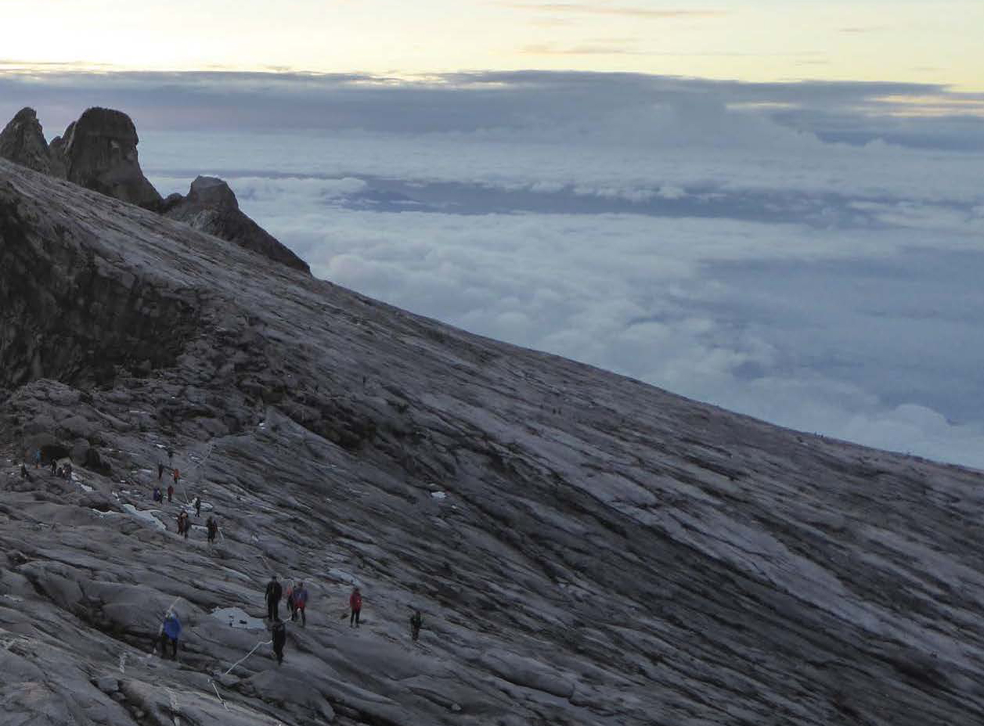
The conditions (wet!) and geography of northern Borneo provide the most challenging aspect of this project. Much of the regions complex geology is masked by tropical vegetation and limited constraints on deep structure, therefore a seismic array had to be deployed over a large region (Figure 2) including mountainous topography, along with dense forestry.
The difficult terrain meant the equipment had to be portable and simple to install in the numbers that the nBOSS project required. In total, 46 seismometers were deployed to secure the invaluable data over the two-year project.
The difficult terrain meant the equipment had to be portable and simple to install in the numbers that the nBOSS project required. In total, 46 seismometers were deployed to secure the invaluable data over the two-year project.
Figure 2: the nBOSS temporary seismic stations (yellow squares) were deployed with an average station separation of 32km. Pink squares represent the permanent stations operated by MetMalaysia. Image courtesy of Pilia et al., (2023)
Güralp Instrumentation
6TD
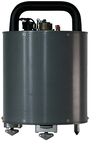
The 6TD (Figure 3) is an ideal instrument for deployment in difficult terrains: its robust and portable design makes it perfect for quick field one-person installation. The instrument is a medium motion sensor, with standard response from 30 s to 100 Hz and an ultra-low power consumption. With a Dynamic range of 137 dB at 5 Hz it is suitable to capture both high frequency and long period signals.
3ESPCD
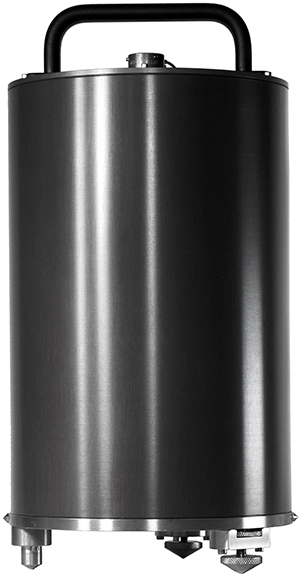
The 3ESPCD (Figure 4) is a small, lightweight, broadband, triaxial digital seismometer with a frequency response from 60 s to 100 Hz. It provides weak motion detection in a portable package. It covers the complete seismic spectrum with a single transfer function. This allowed nBOSS to image the root of the northern Borneo volcanic arc in unprecedented detail (Pilia et al., 2023).
Like the 6TD, the 3ESPCD possesses a self-contained 24-bit digitiser and 32Gb of on-board memory, vastly reducing transportation requirements and making it a natural fit for fast and large-scale deployment.
Like the 6TD, the 3ESPCD possesses a self-contained 24-bit digitiser and 32Gb of on-board memory, vastly reducing transportation requirements and making it a natural fit for fast and large-scale deployment.

Figure 3: A Güralp 6TD medium motion seismometer.

Figure 4: A Güralp 3ESPCD weak motion seismometer.
Deployment considerations
The greatest issue to consider in Borneo was the high level of rainfall. Saturated soils may lead to tilting of instruments through time and traditional instruments tend to get noisy when tilted. To address this, nBOSS were given a Radian Posthole to test (Figure 5).
The Radian sensor is designed to operate at any angle and still perform optimally. Radian devices are very broadband (120 s to 200 Hz) digital seismometers with a very high dynamic range (>149 dB at 1 Hz).
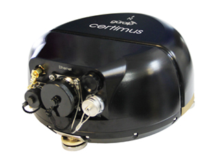
The Radian and the Certimus (Figure 6), both offer the level of tilt tolerance required for deployment in potentially wet soils. These devices would be the preferred choice if this experiment were repeated.

Figure 5: The Radian (Posthole left/Borehole right)

Figure 6: The Certimus medium motion seismic station
Deployment
In March 2018, the nBOSS passive seismic array was deployed in Sabah. For station installations:
- Holes were dug;
- Seismometers were set on a level base within these holes (Figure 7a);
- Cavities were backfilled and compacted;
- Each seismometer was accompanied by a solar powered transmitter
(Figure 7b); - And finally encased in a wire mesh housing to protect each station from the local wildlife (Figure 7c, 7d).
Outcome
A member of the nBOSS team, Prof. Nick Rawlinson (University of Cambridge) praises the data collected, despite the challenging conditions. The instrument’s biggest assets were their “robustness in [the] tropical climate” where ground tilting, influenced by high rates of ground water saturation are the main issues to contend with. “The radian is obviously well suited to such issues, so in future deployments, it would make sense to use them, or the Certimus, both of which have the kind of tilt tolerance you need”.
The data gathered includes local, regional, teleseismic and ambient noise signals. Through various techniques, the data has allowed scientists to better understand the structure of the northern Bornean crust and underlying mantle, leading to an improved understanding of the operation of post subduction tectonics.
The importance of the project is highlighted in the publication of Pilia et al. (2023) which invokes the need for re-evaluation of areas recently affected by subduction termination, such as the western United States. The data also allowed Linang et al. (2022) to explore the influence of subduction polarity reversal (SPR) on Borneo’s geological history for the first time and continues to refine our understanding of plate tectonics.


